No Spies. No Satellites. Just AI. One Chinese Startup Maps the US Military From a Laptop
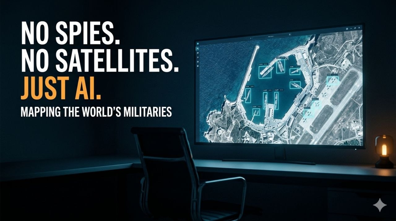
A company called MizarVision, based in the Chinese city of Hangzhou, has fewer than 200 employees. It has raised barely over one and a half million US dollars. It owns no satellites of its own. And over the past few months, it has been doing something that a decade ago would have required a national intelligence agency.
It has been posting, on public social media, the near real-time positions of major United States military assets. Aircraft carriers. F-22 stealth fighters. B-52 bombers. THAAD and Patriot missile batteries. Tracked, labelled by type, annotated, and published openly on Weibo and X for anyone in the world to read.
The tool that makes this possible is not a spy network or a satellite fleet. It is artificial intelligence.
Source: MizarVision company profile
What It Actually Does
MizarVision does not gather its own imagery. It buys ordinary commercial satellite pictures, the same ones available to any company, from Western providers like Maxar and Airbus, from Planet Labs, and from China's Jilin-1 constellation.
The raw image of a harbour or an airbase is not, by itself, intelligence. It is just a picture. The value MizarVision adds sits entirely in the AI layer placed on top. Its models scan each image and automatically detect, outline, and classify military equipment. They can distinguish an F-22 from an F-35, a Patriot battery from a THAAD system, a tanker aircraft from a transport. They compare sequential images over time to show movement. The output is a clean, labelled map of where a military's hardware is and where it is going.
This is the part worth sitting with. The satellites are old news. The imagery is commercially available. The genuinely new ingredient is the AI that turns a flood of raw pictures into a finished intelligence product, at a speed and scale no human analyst team could match.
The Timing That Alarmed Washington
The reason this became an international incident is the calendar.
MizarVision made its first post on X on 24 February 2026. Four days later, on 28 February, US and Israeli forces launched a major operation against Iran. In the days before and during the opening phase, MizarVision posted annotated, high-resolution images of US assets across the region, including F-22s at an Israeli air base and the movements of the carrier USS Gerald R. Ford.
According to reporting citing the US Defense Intelligence Agency, Iran's Islamic Revolutionary Guard Corps used MizarVision's datasets to improve the planning of missile and drone attacks on American bases. A near real-time, AI-labelled map of where the enemy keeps its aircraft is precisely what a missile planner wants.
Source: Seoul Economic Daily on the tracking controversy
Why Nobody Can Simply Switch It Off
The American response has been to try to close the tap. At the request of the US government, Planet Labs indefinitely suspended the sale of high-resolution imagery of Iran and the surrounding region.
The problem, as a former Maxar analyst noted, is that this does not solve anything. Once one supplier stops, the data can simply be bought from another country. China alone launched more than 120 remote-sensing satellites in 2025, and its in-orbit commercial fleet now exceeds 640, second only to the United States. The imagery is a commodity. There is no single switch to flip.
The companies involved deny selling to MizarVision. Maxar's successor Vantor says it sells nothing to Chinese entities. When pressed, a MizarVision representative said only that its sources were diverse, included both Western and Chinese commercial entities, and called the analysis normal commercial activity. And technically, he is right. Buying public images and running software over them breaks no obvious law. That is exactly why it is so hard to stop.
What This Means for India
It is tempting to read this as an American problem. It is not. It is a demonstration of a capability that now points at every country whose military assets are visible from orbit. That includes India.
The lesson is not about MizarVision specifically. It is about what MizarVision proves. The barrier to strategic-grade satellite intelligence has collapsed. A small team, a modest budget, commercially available pictures, and a good AI model are now enough to maintain a running map of an adversary's airbases, ports, and deployments. Any base that can be seen can be watched. Any aircraft left in the open can be counted. Any movement repeated often enough becomes a pattern.
This cuts two ways, and an Indian reader should hold both. It is a vulnerability, because the same techniques can be turned on Indian installations by anyone with a subscription and a model. And it is an opportunity, because the same low-cost, AI-driven open-source approach is now available to India to watch what others would prefer it could not see.
The age of the secret base, the hidden squadron, the quiet build-up, is drawing to a close. A company with no satellites and no spies just proved it. The only remaining question is who learns the lesson fastest.